LE GOLFE / Hiking / La Garde-Freinet
ROCHES BLANCHES.
THE LONGER HIKE.
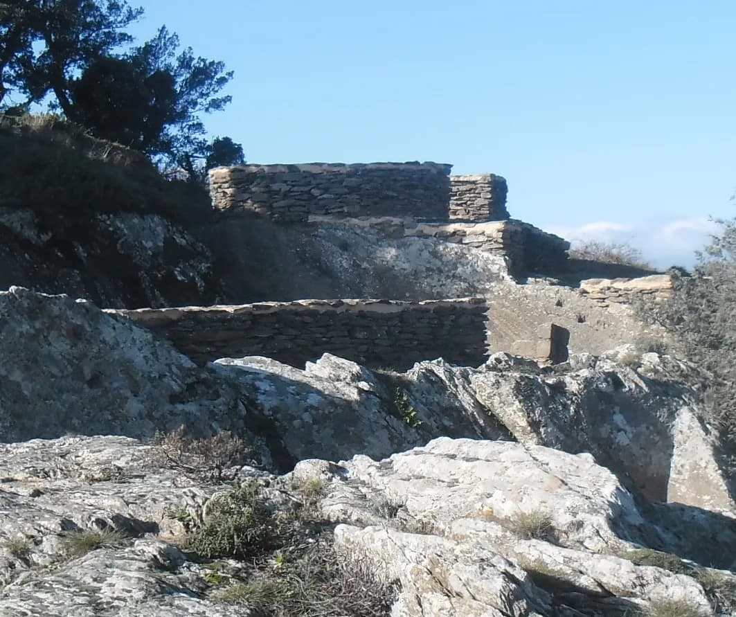
Head above La Garde-Freinet for a proper walk, open ridge views and a final stop at the Fort before returning to the village streets.
LE GOLFE · Details checked on
- Start
- Les Teilles car park · La Garde-Freinet
- Distance
- 9.46 km · Visorando loop
- Published time
- 3 h 40 excluding stops
- Ascent
- +344 m
- Difficulty
- Moderate · care at the Fort
- Highest point
- 636 m
THE ROUTE / PLAN YOUR WALK
Roches Blanches hike
The longer outing in this selection: ridges, distant views and a final section above the village.
Route details
- Start
- Les Teilles car park · La Garde-Freinet
- Distance
- 9.46 km · Visorando loop
- Time excluding stops
- Listed time: 3 h 40
- Ascent
- +344 m
- Difficulty
- Moderate on Visorando · steep final section
At Fort Freinet: slippery rock and exposed sections. Avoid rain and strong wind. The red connection is very steep and for experienced walkers. This longer loop differs from the official short 3 km circuit.
The complete loop · sourced track
Track and elevation source: Visorando · circuit 2710724. Documented track, without a LE GOLFE field check. Markers do not guarantee parking.
Understand the terrain
Profile distance is calculated from the source geometry and may differ slightly from the published distance. The profile does not confirm current trail conditions.
- 01
Leave Les Teilles
Prepare village junctions using the source directions.
- 02
Walk the ridges
Roches Blanches comes before the descent to the Croix.
- 03
Approach the Fort carefully
Read local directions before returning to the village.
Visorando · circuit 2710724 · Desk check: 28 October 2026
THE LE GOLFE TAKE
Allow a generous half-day including stops. Save some energy for the steep final section.
Start in the village
The mapped loop starts at Les Teilles car park. Plan parking, then open the directions for the first junctions. Starting at the Croix car park changes the reference start.
References: Visorando · Roches Blanches, Croix des Maures et Fort Freinet (2710724)
Choose the right circuit
This guide follows the longer Visorando circuit: Roches Blanches, the Croix and the Fort. The tourist office also lists a difficult 3 km walk; its distance and variants describe a separate route.
References: Visorando · Roches Blanches, Croix des Maures et Fort Freinet (2710724) · Office du Golfe · La Croix et le Fort Freinet : difficultés du site · Office du Golfe · Circuit court et variantes du Fort Freinet (PDF)
Give the Fort your full attention
The tourist office warns of steep and exposed sections. Avoid rain and strong wind. The red connection is for experienced walkers; the blue remains steep. Turn back if the terrain exceeds your confidence.
References: Office du Golfe · La Croix et le Fort Freinet : difficultés du site · Office du Golfe · Circuit court et variantes du Fort Freinet (PDF)
Continue the discovery
The Fort is reached on foot only. The Conservatoire offers resources about the site, including a 3D reconstruction, to explore after the walk.
References: Conservatoire du Patrimoine du Freinet · Le Fort Freinet
Check before setting off
Check forest access and the weather. Our suggestion: bring water, the directions and a margin before dark. Stops are additional to the published walking time.
References: Préfecture du Var · Carte d’accès aux massifs
Practical questions.
Is this the short 3 km circuit?
No. The map shows the longer 9.46 km loop published on Visorando. The office’s short circuit is a separate route.
Can I drive to the Fort?
The site is reached on foot, from the village or the Croix car park.
Make your plan.
Places in this guide.
Sources. Current details.
Prepared by LE GOLFE using the sources below. Suggested pace and day plans are our editorial recommendations. Check venues and transport operators for openings, prices and availability on your dates.
- Visorando · Roches Blanches, Croix des Maures et Fort Freinet (2710724)
- Office du Golfe · La Croix et le Fort Freinet : difficultés du site
- Office du Golfe · Circuit court et variantes du Fort Freinet (PDF)
- Conservatoire du Patrimoine du Freinet · Le Fort Freinet
- Préfecture du Var · Carte d’accès aux massifs