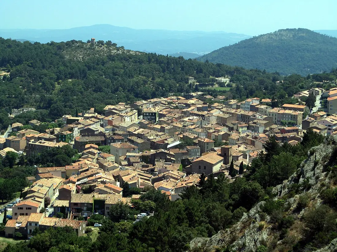
← Explore places

La Garde-Freinet · LE GOLFE / DISCOVER

Fort-Freinet

THE ROCK REMEMBERS THE VILLAGE.

A visit centred on the remains and views, separate from the longer Roches Blanches hike. From the Croix car park, choose the blue approach shown on the official plan and return along the same path. A shorter outing with rocky terrain that still needs care.
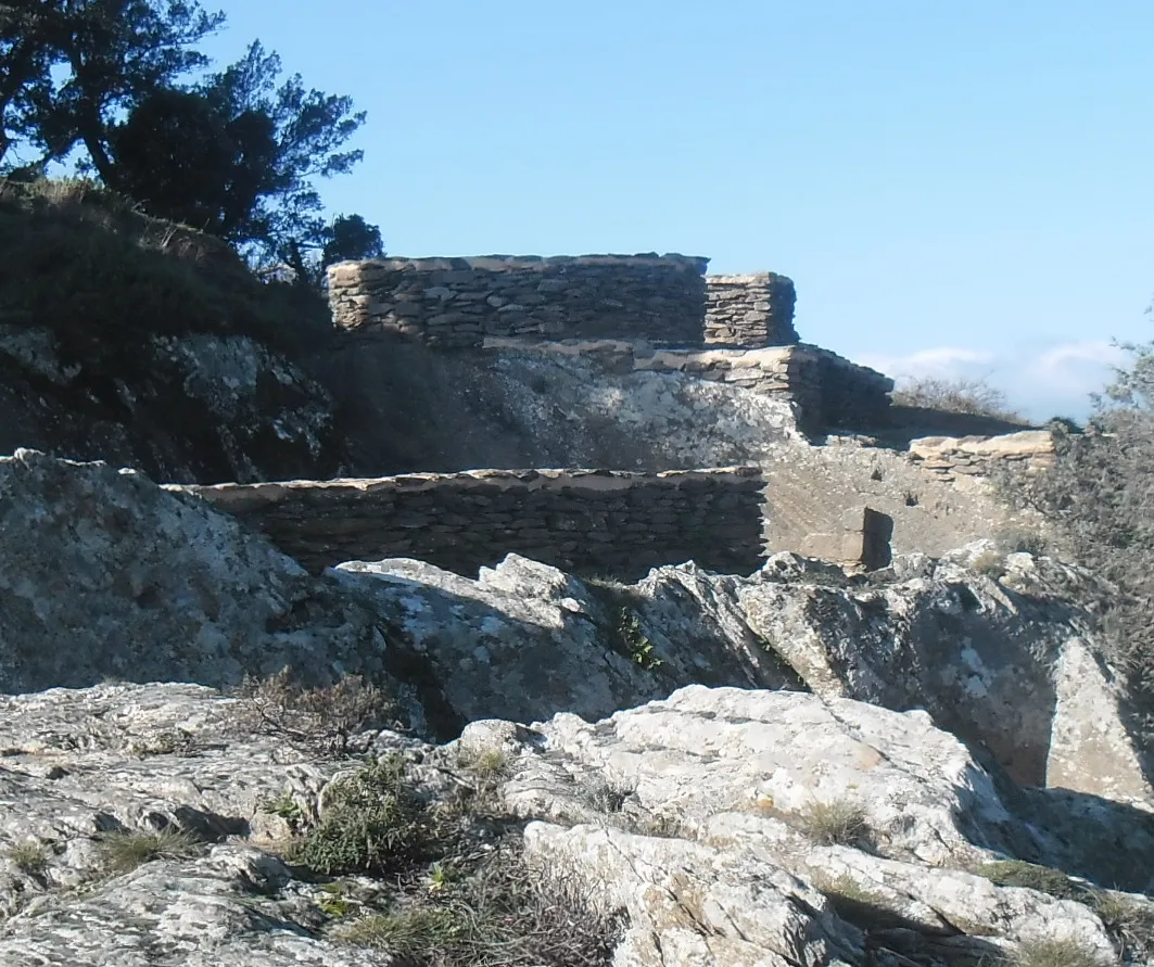
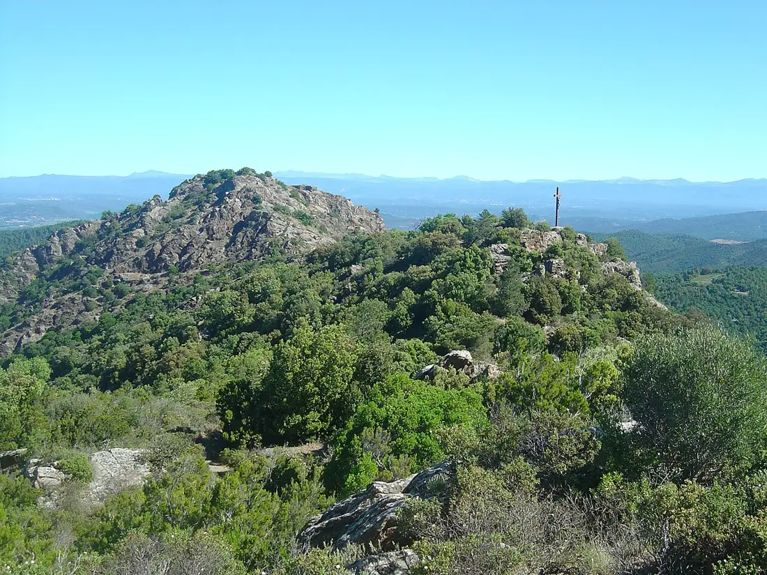
Vestiges du Fort-Freinet à La Garde-Freinet (2015)
Fort-Freinet remains, La Garde-Freinet (2015)Blaue Max / Wikimedia Commons · CC BY-SA 4.0 · Resized, converted to WebP and display-cropped; adapted image under the same licence.

Fort Freinet: the shorter walk

THE LE GOLFE VIEW

“ABOVE THE MAURES, HISTORY IN THE OPEN AIR.”

FIND YOUR RHYTHM

CLIMB. READ THE LANDSCAPE. TAKE YOUR TIME.

01

A village shaped by rock

Fort-Freinet is a former fortified settlement whose medieval occupation is presented from the 12th to 16th centuries. Rock, remains and the ditch reveal its organisation. Our advice: look at how people used the terrain before trying to identify every vanished building.

02

The shorter start: Croix car park

The official plan shows an approach from the Croix car park. Choose the blue path to the Fort, less difficult than the red connection, and retrace your route. The map below locates the remains; use the official plan for the start and junctions.

03

Shorter, with rocky sections

This visit avoids the longer Roches Blanches circuit. The blue path remains steep: wear suitable footwear and choose dry weather. Avoid rain and strong wind. The office’s 3 km and 1 h 30 describe its combined Croix and Fort circuit, not a measured blue out-and-back approach.

BEYOND THE FIRST LOOK

Connect landscape and museum

Our suggestion: complement the site with the Conservatoire du Patrimoine du Freinet, which presents its history and excavated objects. Croix des Maures is another nearby viewpoint on a separate hill. Choose stops around your walking plans and museum opening.

THE USEFUL DISTINCTION

REACH THE FORT ON FOOT.

PLAN YOUR VISIT

LA GARDE-FREINET, THROUGH ITS EARLIER VILLAGE.

Format
Short Fort walk · separate from Roches Blanches
Site
Former medieval fortified village
Commune
La Garde-Freinet
Access
On foot only from the village or Croix car park
Terrain
Steep path; check weather conditions

LOCATION & DIRECTIONS

Where is this place?

Fort-Freinet · La Garde-Freinet

Area reference

Official location reference, not a car park. Plan your approach and check current access.

Location reference : Fort-Freinet. Checked on .

Location source and access information ↗

Suggested destination : Parking de la Croix, 83680 La Garde-Freinet, France

The marker identifies an area or a visit reference; it does not guarantee an entrance or vehicle access. Check the access notes above.

Choose your starting point and travel mode in Google Maps. Check the final approach on site.

Common questions

Can I drive to Fort-Freinet?

No. Walk from the village or Croix car park. The map does not indicate a road to the remains.

Is this the Roches Blanches hike?

No. This page covers the shorter Fort visit. The 9.46 km Roches Blanches loop has its own page. The blue approach remains rocky and is not an easy stroll for everyone.

Explore further

NEXT MOVE

SAVE IT. BOOK IT. BUILD AROUND IT.

Ask LE GOLFE →
Your shortlist stays on this device.My stay · 0

COMMUNITY / SEEN BY YOU

YOUR PHOTOS.
YOUR WORDS.

Another view of the place, shared by people who were actually there. Every contribution is moderated before publication.

COMMENTS

No published comments yet.

CONTRIBUTE

You need an account to post a photo or comment.

Sign in / join ↗
Places and stays in La Garde-Freinet →

Explore nearby and similar places