La Garde-Freinet · LE GOLFE / DISCOVER
Randonnée vers les Roches Blanches
ROCHES BLANCHES, ALONG THE RIDGES.
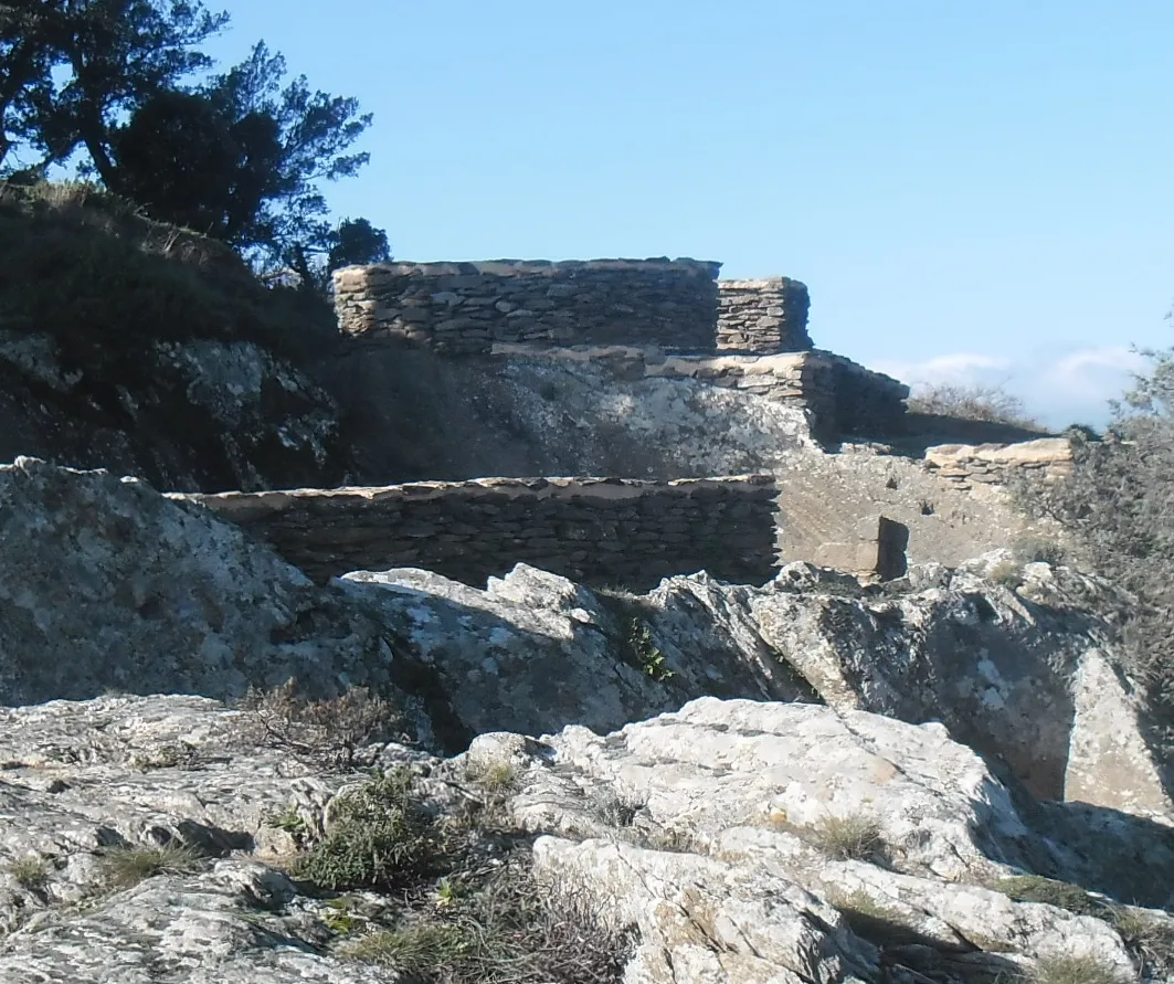
Head above La Garde-Freinet for a proper walk, open ridge views and a final stop at the Fort before returning to the village streets.
La Garde-Freinet · LE GOLFE / DISCOVER
Head above La Garde-Freinet for a proper walk, open ridge views and a final stop at the Fort before returning to the village streets.
THE ROUTE / PLAN YOUR WALK
The longer outing in this selection: ridges, distant views and a final section above the village.
At Fort Freinet: slippery rock and exposed sections. Avoid rain and strong wind. The red connection is very steep and for experienced walkers. This longer loop differs from the official short 3 km circuit.
The complete loop · sourced track
Track and elevation source: Visorando · circuit 2710724. Documented track, without a LE GOLFE field check. Markers do not guarantee parking.
Profile distance is calculated from the source geometry and may differ slightly from the published distance. The profile does not confirm current trail conditions.
Prepare village junctions using the source directions.
Roches Blanches comes before the descent to the Croix.
Read local directions before returning to the village.
Visorando · circuit 2710724 · Desk check: 28 October 2026
THE LE GOLFE VIEW
“GAIN HEIGHT IN THE MAURES.”
FIND YOUR RHYTHM
01
The mapped loop starts at Les Teilles car park. Plan parking, then open the directions for the first junctions. Starting at the Croix car park changes the reference start.
02
This guide follows the longer Visorando circuit: Roches Blanches, the Croix and the Fort. The tourist office also lists a difficult 3 km walk; its distance and variants describe a separate route.
03
The tourist office warns of steep and exposed sections. Avoid rain and strong wind. The red connection is for experienced walkers; the blue remains steep. Turn back if the terrain exceeds your confidence.
BEYOND THE FIRST LOOK
Check forest access and the weather. Our suggestion: bring water, the directions and a margin before dark. Stops are additional to the published walking time.
THE USEFUL DISTINCTION
PLAN YOUR VISIT
No. The map shows the longer 9.46 km loop published on Visorando. The office’s short circuit is a separate route.
The site is reached on foot, from the village or the Croix car park.
NEXT MOVE
COMMUNITY / SEEN BY YOU
Another view of the place, shared by people who were actually there. Every contribution is moderated before publication.
COMMENTS
No published comments yet.
CONTRIBUTE
You need an account to post a photo or comment.
Sign in / join ↗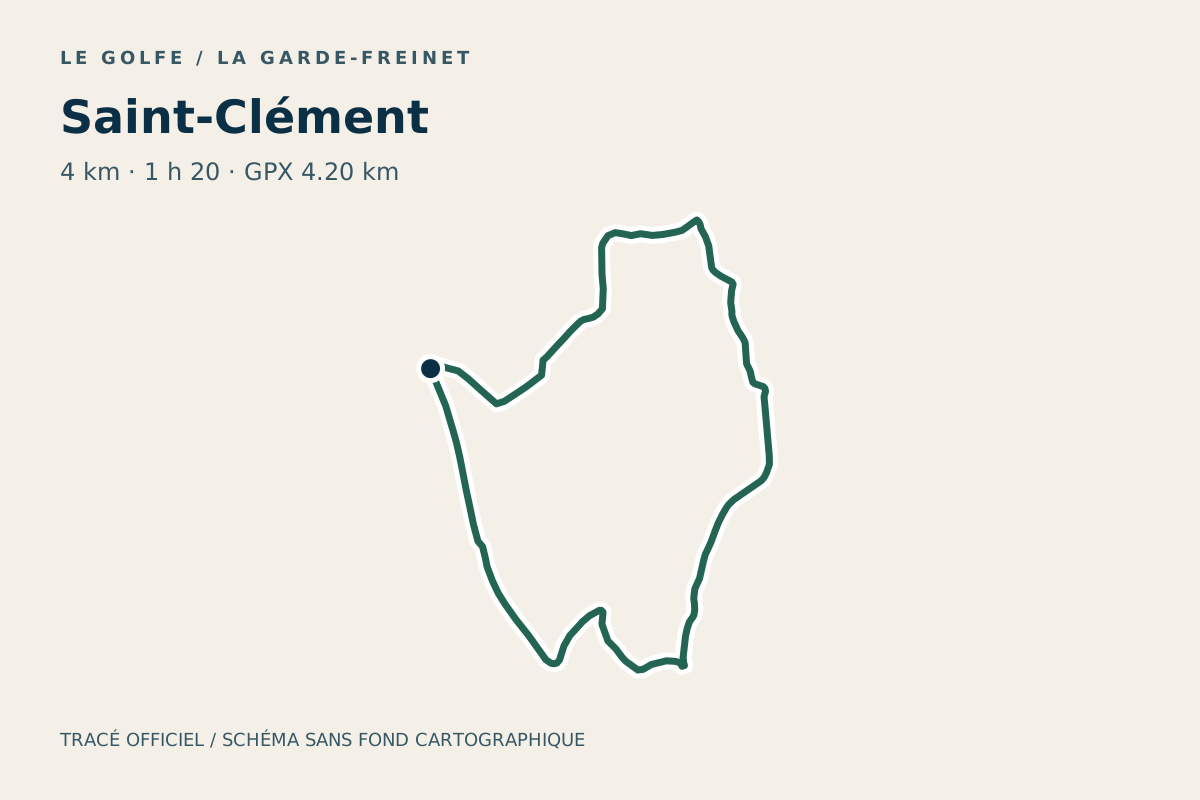
DO · La Garde-Freinet
Plan the Saint-Clément hike in La Garde-Freinet: listed 4 km and 1 h 20, with a route map, elevation profile, GPX and access advice.
Route diagram: LE GOLFE · Office du Golfe
DO · La Garde-Freinet
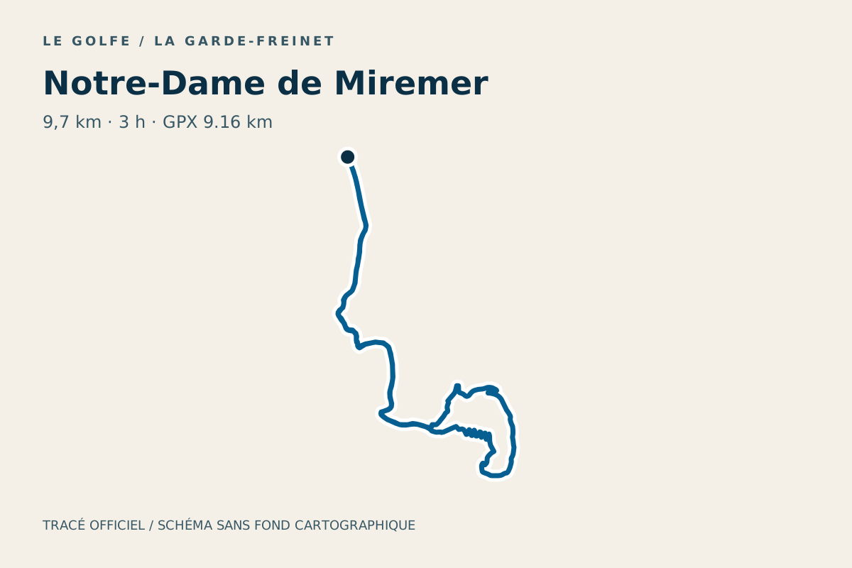
Plan the Notre-Dame de Miremer hike in La Garde-Freinet: listed 9.7 km and 3 h, with a route map, elevation profile, GPX and access advice.
Route diagram: LE GOLFE · Office du Golfe
DO · La Garde-Freinet
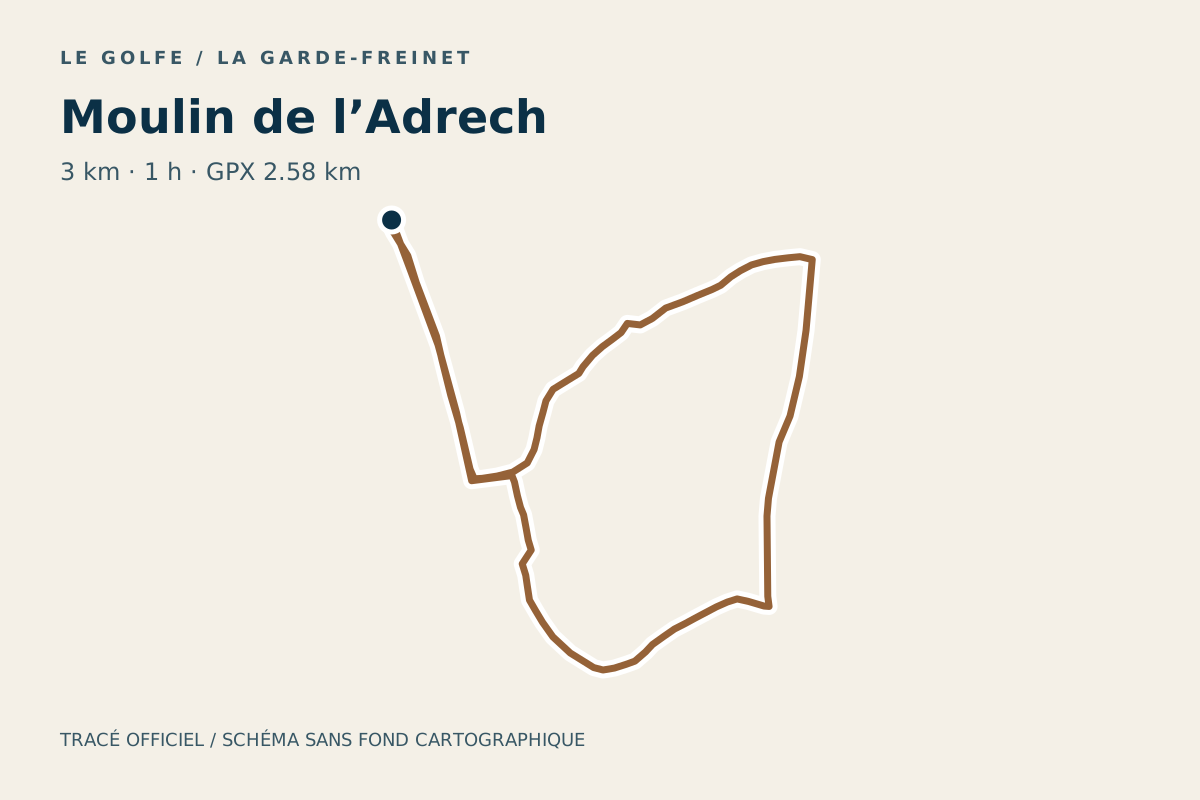
Plan the Moulin de l’Adrech hike in La Garde-Freinet: listed 3 km and 1 h, with a route map, elevation profile, GPX and access advice.
Route diagram: LE GOLFE · Office du Golfe