LE GOLFE / Hiking / La Croix-Valmer
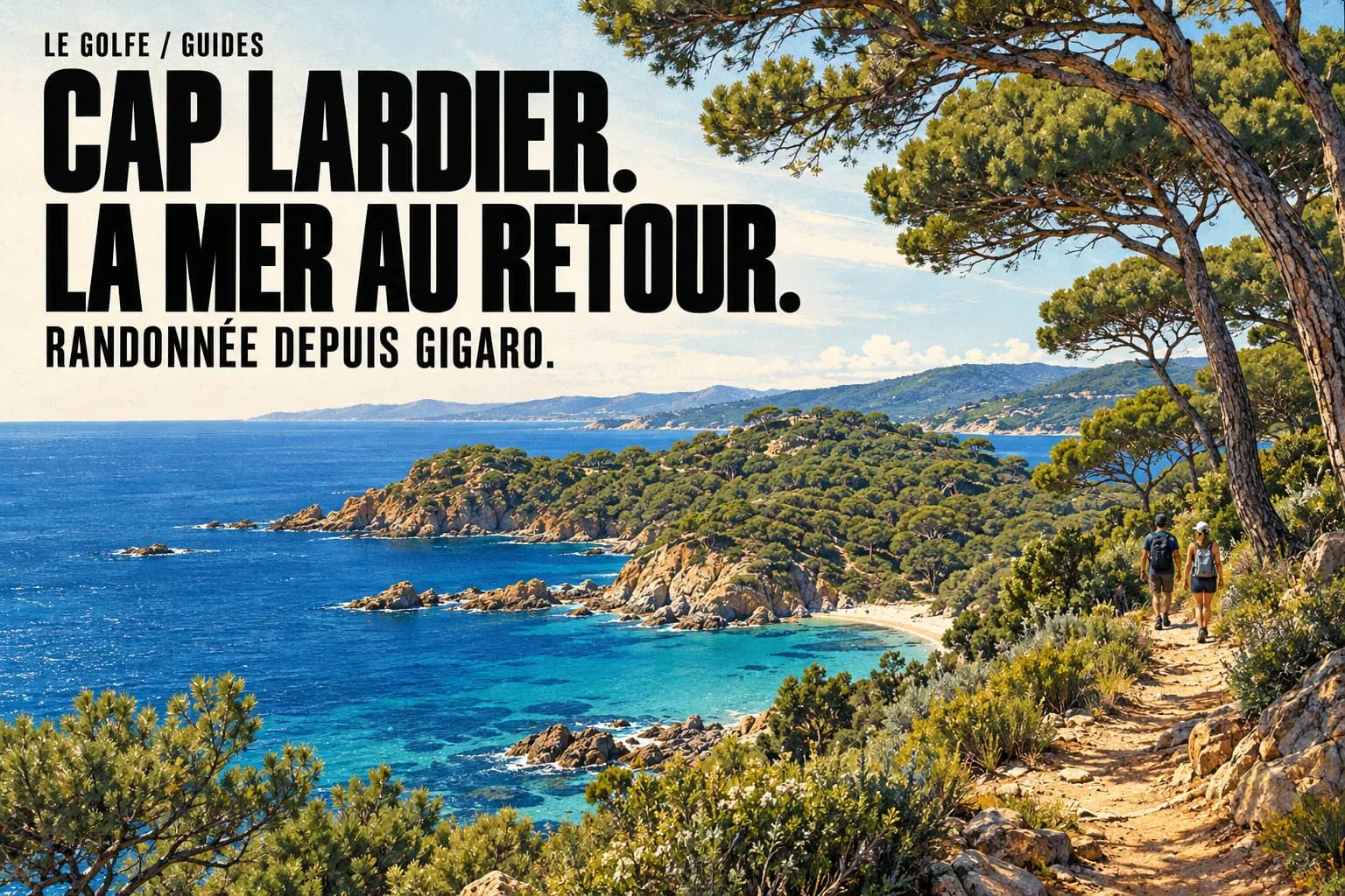
CAP LARDIER.
SEA ON THE WAY BACK.
One start, two landscapes. Leave Gigaro inland, reach Cap Lardier and return along the coast. Scrubland first, sea afterwards.
LE GOLFE · Details checked on
- Start
- Gigaro welcome point · La Croix-Valmer
- Distance
- 8.2 km · loop
- Time
- Published walking time: 3 h 30
- Ascent
- 282 m
- Difficulty
- Intermediate · uneven ground
- Return
- Coast via Brouis and Jovat
THE ROUTE / PLAN YOUR WALK
Cap Lardier · the Gigaro loop
Scrubland on the way out, coves on the way back. A half-day walk returning to Gigaro along the coast.
Route details
- Start
- Gigaro welcome point
- Distance
- 8.2 km · loop
- Time excluding stops
- Listed time: 3 h 30
- Ascent
- +282 m
- Difficulty
- Intermediate
Uneven paths and exposure to heat. This loop does not reach Cap Taillat.
The complete loop · sourced track
Track and elevation source: Parc national de Port-Cros. Documented track, without a LE GOLFE field check. Markers do not guarantee parking.
Understand the terrain
Profile distance is calculated from the source geometry and may differ slightly from the published distance. The profile does not confirm current trail conditions.
- 01
Start at Gigaro
Plan parking and locate the welcome point.
- 02
Reach the cape
Follow the inland section and the Park’s directions.
- 03
Return by the sea
Head back via Brouis and Jovat, allowing time for breaks.
Parc national de Port-Cros · Desk check: 28 October 2026
THE LE GOLFE TAKE
Allow half a day. Treat a swim as an optional extra after the walk, separate from the published walking time.
Reach the right start at Gigaro
The official start is the Gigaro welcome point by the beach. Plan parking or transport to Gigaro; reaching La Croix-Valmer town centre does not put you at the trailhead.
The welcome point is seasonal. Download the Park map beforehand and confirm your return transport if travelling without a car. This small preparation keeps the day straightforward.
References: Parc national de Port-Cros · Carte et pas-à-pas du circuit (PDF)
Inland outward, coast home
The loop reaches Cap Lardier inland, then returns along the coast through Brouis and Jovat. The Park’s instructions show the junctions and the short final out-and-back section to the cape.
Use this circuit’s map. The two-capes route is a separate outing; continuing to Taillat takes you beyond this 8.2 km loop. Read the signs at junctions rather than relying on the walkers ahead.
References: Parc national de Port-Cros · Carte et pas-à-pas du circuit (PDF)
Coastal kilometres still take effort
The published figures are 3 h 30 and 282 m of accumulated ascent. Add your breaks. Roots, steps and changing gradients explain why distance alone is a poor measure of effort.
Our suggestion: walking shoes, water, sun protection and a manageable bag. Save some energy for the return. Nearby beaches do not make the entire route a stroll on sand.
References: Golfe de Saint-Tropez Destination · Circuit du Cap Lardier
Keep the sea break flexible
The coves invite you to slow down. Leave enough time for a pause without rushing the final kilometres.
Swimming depends on sea conditions, weather and local notices. For a simple day, finish the loop and decide at Gigaro whether you want beach time. The walk and the swim can remain separate decisions.
References:
Keep the landscape intact
The Park document describes local wildlife and the effects of trampling on plants. Stay on paths, observe from a distance and take litter home. Photograph from the route rather than stepping into vegetation.
Check forest access restrictions and Park information before leaving. Closures, strong heat or poor weather can alter the outing. Follow temporary signs on site.
References: Parc national de Port-Cros · Carte et pas-à-pas du circuit (PDF) · Préfecture du Var · Carte d’accès aux massifs
Practical questions.
Does this loop reach Cap Taillat?
No. It reaches Cap Lardier and returns to Gigaro. The two-capes circuit is a different route.
Is 3 h 30 enough for the whole outing?
That is the published walking time. Add breaks, travel to the start and any swim after returning.
Make your plan.
Places in this guide.
Sources. Current details.
Prepared by LE GOLFE using the sources below. Suggested pace and day plans are our editorial recommendations. Check venues and transport operators for openings, prices and availability on your dates.