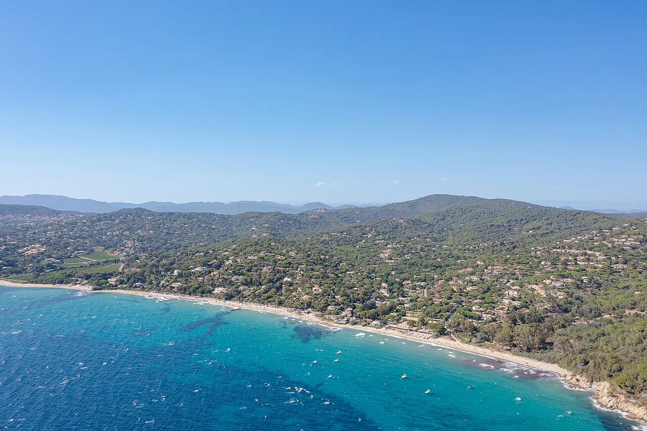
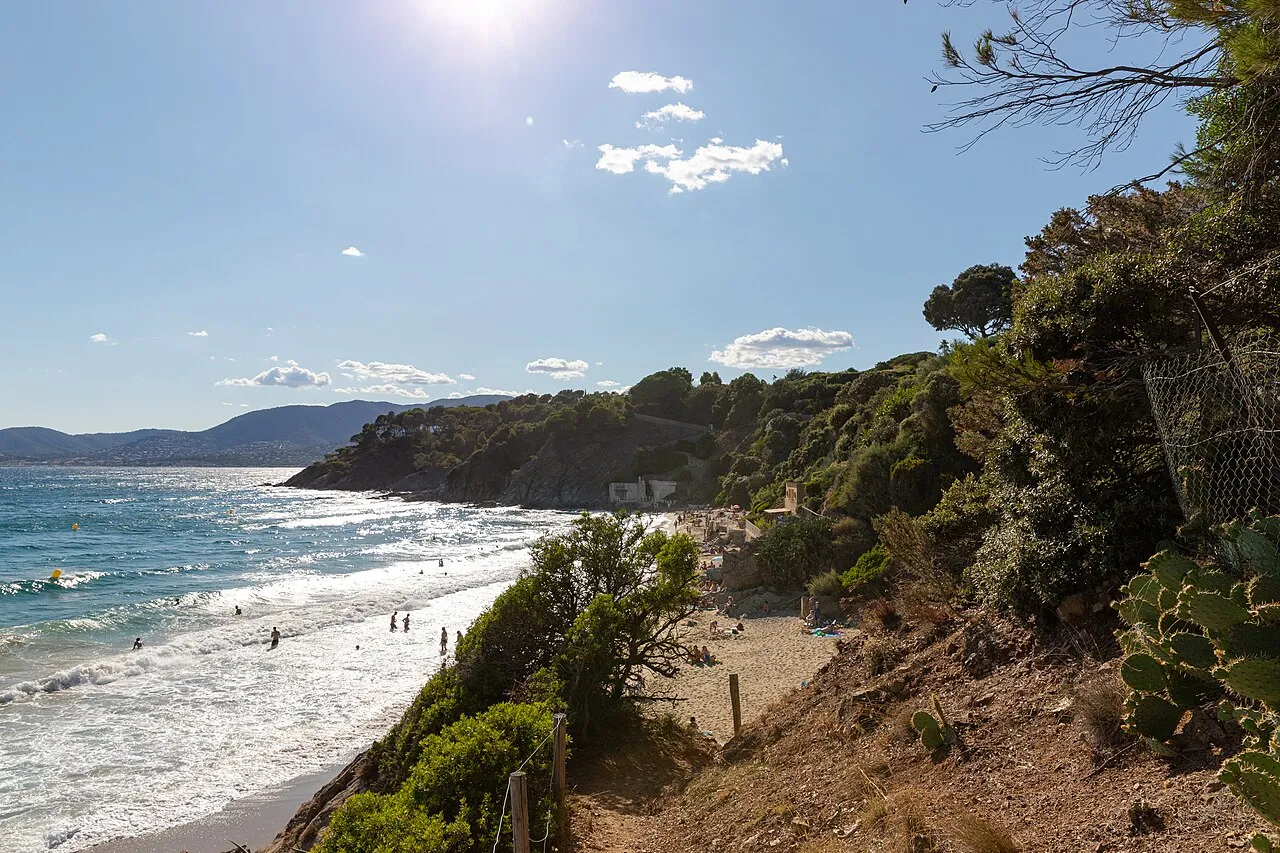
At Cap Lardier, walking gives the landscape its scale. The National Park circuit connects scrubland, woodland and coast from Gigaro. Our idea: give it a proper half-day with time for viewpoints rather than squeezing it between beach appointments.
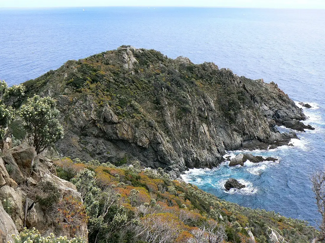
Cap Lardier, photograph from 2010Johan N / Wikimedia Commons · CC BY-SA 3.0 · Resized, converted to WebP and display-cropped; adapted image under the same licence.
THE ROUTE / PLAN YOUR WALK
Cap Lardier · the Gigaro loop
Scrubland on the way out, coves on the way back. A half-day walk returning to Gigaro along the coast.
Route details
Start
Gigaro welcome point
Distance
8.2 km · loop
Time excluding stops
Listed time: 3 h 30
Ascent
+282 m
Difficulty
Intermediate
Uneven paths and exposure to heat. This loop does not reach Cap Taillat.
Track and elevation source: Parc national de Port-Cros. Documented track, without a LE GOLFE field check. Markers do not guarantee parking.
Understand the terrain
Profile distance is calculated from the source geometry and may differ slightly from the published distance. The profile does not confirm current trail conditions.
01
Start at Gigaro
Plan parking and locate the welcome point.
02
Reach the cape
Follow the inland section and the Park’s directions.
03
Return by the sea
Head back via Brouis and Jovat, allowing time for breaks.
START AT GIGARO. REACH THE CAP. RETURN BY THE COAST.
01
A circuit through scrubland and coast
The official loop approaches the headland through inland paths, then returns along the coast via Les Brouis, Jovat and Gigaro. This page describes that specific route rather than the Two Caps circuit or an extension to Taillat. Download the matching track before setting out.
02
Start at Gigaro’s visitor point
Head to Gigaro, use authorised parking and walk to the site entrance. The marker matches the start of the Park’s GPX, not the headland or a road to it. Check parking and shuttle arrangements for your dates.
03
Prepare for an 8.2 km hike
The Park lists around 3½ hours, 8.2 km and 282 m ascent at intermediate level. Add breaks. Bring water, suitable shoes, sun protection and an offline track, allowing time for the return instead of assuming everyone walks at the same speed.
BEYOND THE FIRST LOOK
Check opening and respect the site
Consult Park information, weather and the official forest-access map before leaving. Follow closures and stay on indicated paths. Our suggestion: postpone the loop in unsuitable conditions and treat Gigaro beach as a separate outing.
THE USEFUL DISTINCTION
THE RIGHT CIRCUIT BEGINS WITH THE RIGHT TRACK.
PLAN YOUR VISIT
GIVE CAP LARDIER ITS HALF-DAY.
Start and finish
Gigaro visitor point, La Croix-Valmer
Official circuit
8.2 km loop
Time and ascent
Around 3½ hours; +282 m listed
Difficulty
Intermediate; check access and weather
Common questions
Which route does this page cover?
The National Park’s Cap Lardier circuit: an 8.2 km loop taking around 3½ hours, starting and finishing at Gigaro’s visitor point.
Does the map show vehicle access to the headland?
No. It marks the Gigaro starting point. Continue on foot using the official route and current access information.