La Garde-Freinet · LE GOLFE / DISCOVER
Notre-Dame de Miremer hike
NOTRE-DAME DE MIREMER.
A half-day walk to Miremer hill, its chapel and terraced fig trees. This page covers the route from the village, separately from the heritage visit to the site.
La Garde-Freinet · LE GOLFE / DISCOVER
A half-day walk to Miremer hill, its chapel and terraced fig trees. This page covers the route from the village, separately from the heritage visit to the site.
THE ROUTE / PLAN YOUR WALK
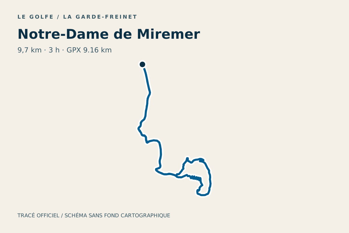
The official track on the map, with its terrain profile.
Crossing the D558 requires care and good visibility. The route combines roads and paths and is unsuitable for pushchairs.
The complete loop · sourced track
Geometry: Office du Golfe. IGN RGE ALTI · Elevations calculated from terrain data, not a GPS recording. Documented track, without a LE GOLFE field check. Markers do not guarantee parking.
Profile distance is calculated from the source geometry and may differ slightly from the published distance. The profile does not confirm current trail conditions.
Download the guidebook and locate authorised parking.
Use yellow waymarks and the source directions.
Leave time for the return and road sections.
Office du Golfe · Desk check: 28 October 2026
THE LE GOLFE VIEW
“WALKING LEAVES TIME TO LOOK AROUND.”
FIND YOUR RHYTHM
01
The guidebook starts at the tourist office and mentions Les Teilles for parking. Allow time to return before taking Chemin du Refren.
02
After carefully crossing the D558, the route reaches the Val d’Aubert area and the chapel path. The views and fig trees give the break its setting.
03
The return descends on a wider track before rejoining the outward approach. Follow the guidebook at junctions and take care near the main road.
BEYOND THE FIRST LOOK
The office lists 9.7 km and 3 h; the GPX measures around 9.16 km. Our advice: allow breaks, bring water and check the forest access map on the day.
THE USEFUL DISTINCTION
PLAN YOUR VISIT
Near the tourist office at Chapelle Saint-Jean. The GPX marker does not guarantee parking.
No. The route coordinates come from the tourist office; profile elevations use IGN RGE ALTI terrain data.
NEXT MOVE
COMMUNITY / SEEN BY YOU
Another view of the place, shared by people who were actually there. Every contribution is moderated before publication.
COMMENTS
No published comments yet.
CONTRIBUTE
You need an account to post a photo or comment.
Sign in / join ↗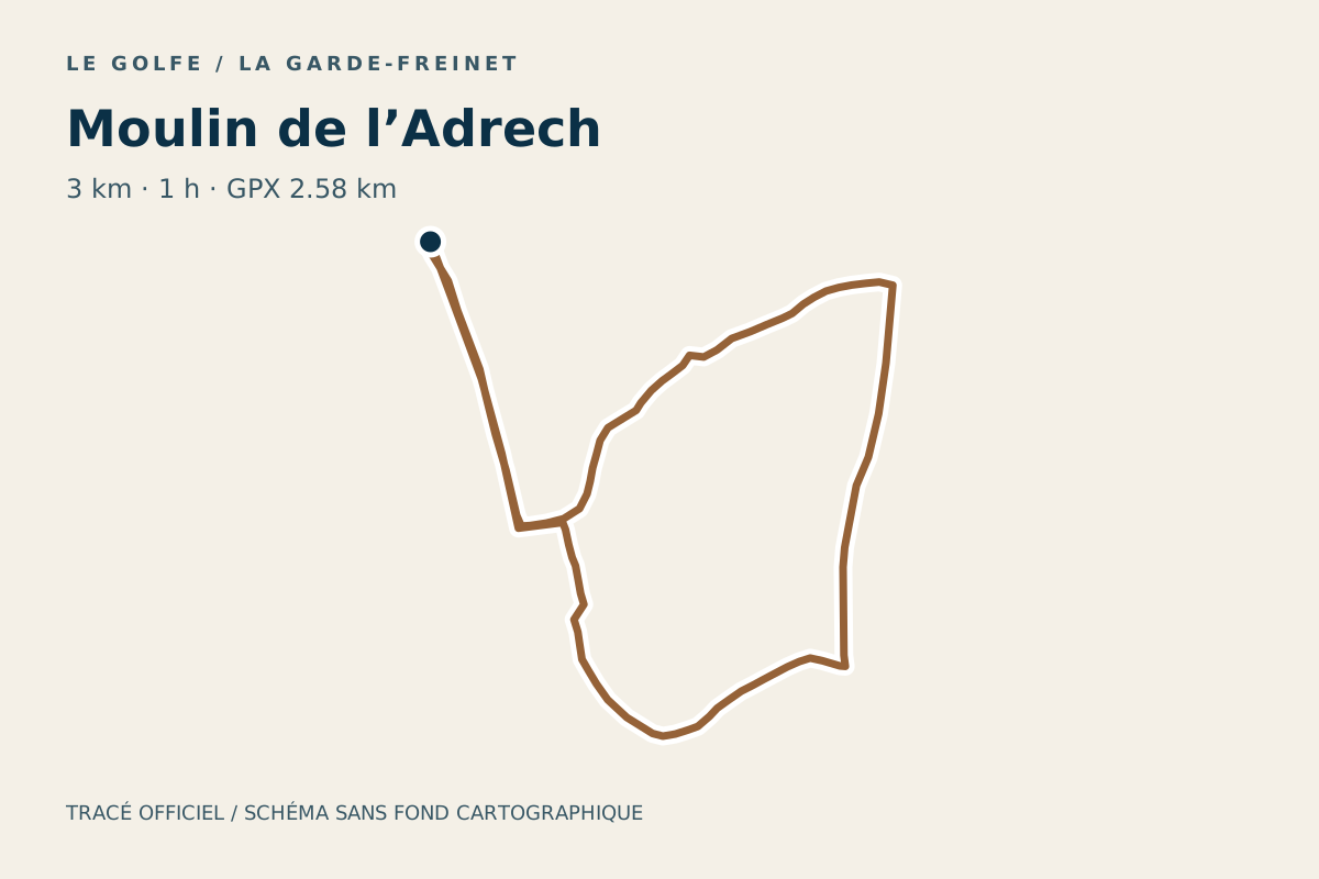
DO · La Garde-Freinet
Plan the Moulin de l’Adrech hike in La Garde-Freinet: listed 3 km and 1 h, with a route map, elevation profile, GPX and access advice.
Route diagram: LE GOLFE · Office du Golfe
DO · La Garde-Freinet
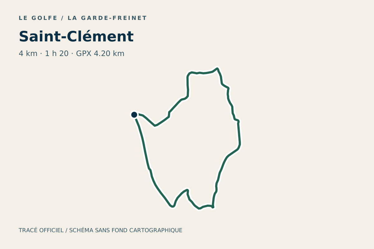
Plan the Saint-Clément hike in La Garde-Freinet: listed 4 km and 1 h 20, with a route map, elevation profile, GPX and access advice.
Route diagram: LE GOLFE · Office du Golfe
DO · La Garde-Freinet
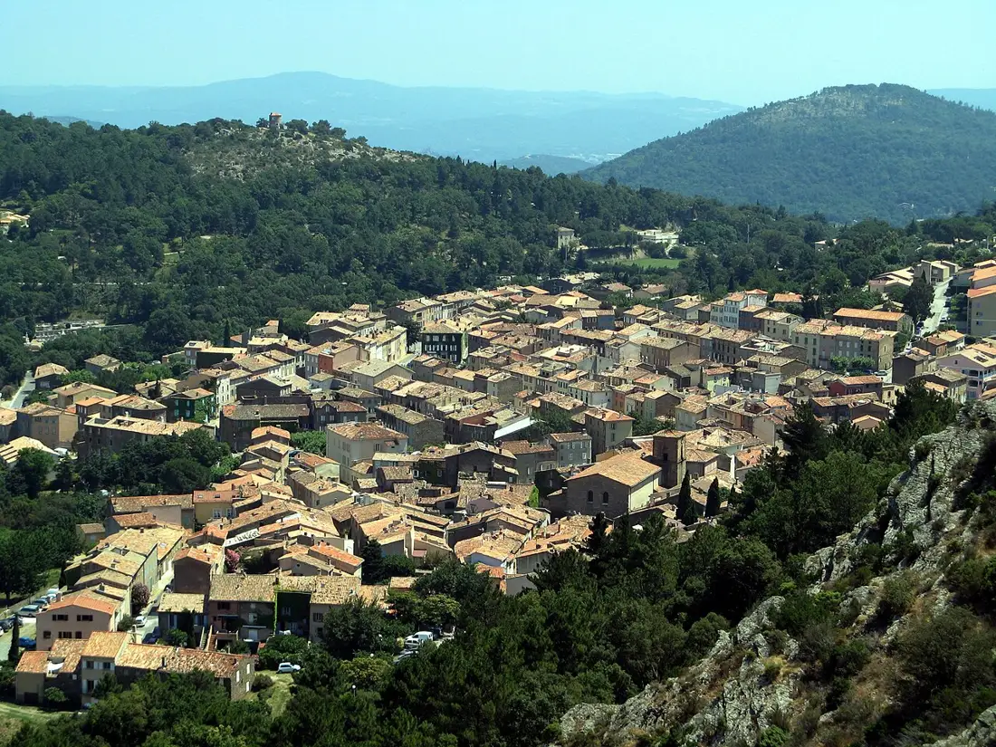
Visit the Conservatoire du Patrimoine du Freinet: chestnuts, cork, silkworms and Fort-Freinet history. Free museum at Chapelle Saint-Jean, with access and hours.
Context photo: Patrick Rouzet / Wikimedia Commons · CC BY-SA 3.0