A majestic headland between two bays
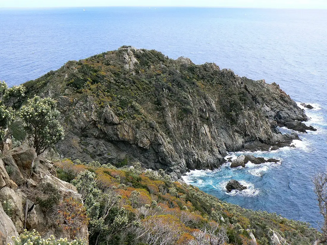
Joined to the coast by a sandy isthmus, Cap Taillat has a distinctive outline between Briande and Bonporteau bays. Clear water and the indented shoreline create a remarkable sense of space. Our advice: leave time to enjoy the changing views from the path rather than treating the cape as another beach to tick off.
From l’Escalet beach in Ramatuelle
Start at l’Escalet beach car park and follow the coastal path towards Cap Taillat. Ramatuelle Tourism gives around 40 minutes to reach the site: an approach estimate, not a complete outing including the return, swimming and exploring the headland. Allow extra time for your pace. Parking is at the start, never beside the isthmus.
From Canadel: a second start near l’Escalet
CEN PACA also lists a start at the end of Avenue Cartaya, near Pointe de Canadel. It avoids the first rocky, exposed stretch from l’Escalet beach, which is discouraged for young children. The remaining path is still unsuitable for pushchairs and wheelchairs. Check local signs and parking arrangements.
From Gigaro: the coast via Cap Lardier
In La Croix-Valmer, start at Gigaro beach by the entrance to the Cap Lardier estate. Follow yellow waymarks towards Cap Lardier, then La Briande beach and the Cap Taillat isthmus. This is a substantial hike, much longer than the approach from l’Escalet. The tourist office’s “Les 2 Caps” route returns along forest tracks: consult its full route before choosing your outing.
From Gigaro: the forest circuit of the two capes
A separate official route, Port-Cros National Park’s “Circuit des 2 caps”, starts at Gigaro’s information point, climbs through forest towards Colle Basse, reaches Taillat via Chemin de la Douane and returns via Cap Lardier, Brouis and Jovat. The Park lists 14.8 km, 5 hours and 494 m of ascent for the entire loop, excluding long breaks. These figures apply neither to a one-way walk to Taillat nor to the other “Les 2 Caps” loop. Download the matching GPX.
From Camarat: a longer coastal approach
You can also approach along the coast from the Camarat lighthouse area via l’Escalet. Ramatuelle Tourism describes this connection on its “Côté mer” page. Plan it as a long hike with a return journey, rather than a shortcut to the beach. For a first visit focused on Taillat, we suggest starting near l’Escalet or choosing a waymarked Gigaro circuit.
Summer: wild scenery with plenty of visitors
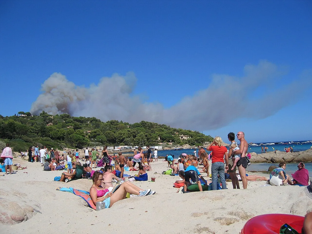
In July and August, expect busy beaches, paths and bays. The landscape remains spectacular, but this is not a secret cove. Our advice: set off early to reduce exposure to heat and parking pressure, without expecting guaranteed peace. Spring or the shoulder season can be more rewarding when conditions and trail access allow.
Swimming and preparation: allow for the return
Plage de la Douane offers a fine view of the cape and its former customs house; swimming is unsupervised. Bring water, proper footwear and sun protection for the whole outing. Rough seas can expose or submerge sections of the coastal path. Check the daily forest-access map before leaving and respect closures. Keep to marked paths; fires, camping and removing natural material are prohibited in this protected site.