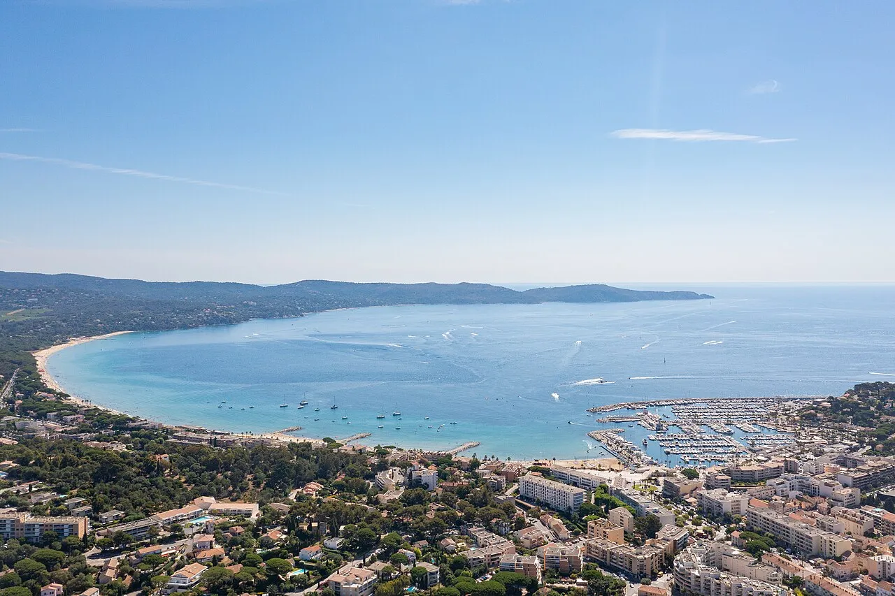
← Explore places

Cavalaire-sur-Mer · LE GOLFE / DISCOVER

Sentiers de la Corniche des Maures

THE SEA HAS A WALKING SIDE TOO.

Between Bonporteau, Fenouillet and Le Dattier, the Corniche des Maures trails reveal a Cavalaire made for walking shoes. The sea connects the scenery, while the terrain sets the pace. Our idea: choose your route before setting off so there is time to enjoy both the walk and the views.
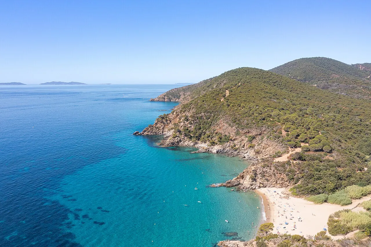
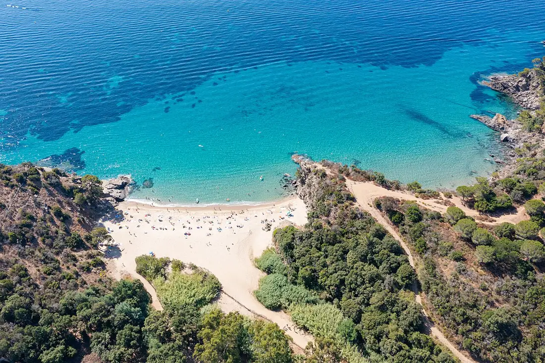
Baie de Bonporteau — vue du secteur de départ, pas de l’ensemble des sentiers de la Corniche des Maures
Area photographBonporteau — starting-area view, not the complete Corniche des Maures trailsdronepicr / Wikimedia Commons · CC BY 2.0 · Resized, converted to WebP and display-cropped; adapted image under the same licence.

THE LE GOLFE VIEW

“BONPORTEAU. FENOUILLET. THE HORIZON.”

FIND YOUR RHYTHM

CHOOSE A ROUTE. WALK. LOOK OUT.

01

Choose the right route

The official listing provides a short 3 km route and an 8 km route listed at around 3 hours with 360 m of elevation gain. Those figures apply to the long route, not the short one. Download the matching GPX and expect more than a flat promenade.

02

Starting from Bonporteau

This page uses the Bonporteau starting area published by the tourist office. Use authorised parking and follow local directions. The marker identifies the starting area rather than a parking space. The official source also describes an alternative approach via the former railway.

03

From Fenouillet to coastal views

Fenouillet valley brings vegetation and watercourse scenery distinct from the more open stretches. Our advice: leave time for viewpoints rather than chasing speed. There are steep sections; bring water, suitable footwear and sun protection.

BEYOND THE FIRST LOOK

Check conditions before setting out

Consult the weather and official forest-access map, particularly in summer, then follow signs and any closures. Our suggestion: give the walk its own place in the day and postpone if conditions are unsuitable. Visiting Domaine Foncin requires separate arrangements.

THE USEFUL DISTINCTION

THREE OR EIGHT KILOMETRES MAKES A DIFFERENCE.

PLAN YOUR VISIT

GIVE THE CORNICHE YOUR TIME.

Starting area
Bonporteau, Cavalaire-sur-Mer
Two routes
3 km or 8 km, depending on the selected track
8 km route
Around 3 hours; 360 m elevation gain listed
Before walking
Check weather, route and forest access

LOCATION & DIRECTIONS

Where is this place?

Sentiers de la Corniche des Maures · Cavalaire-sur-Mer

Area reference

Official location or area reference, not a parking space. Check access and daily conditions.

Location reference : Sentiers de la Corniche des Maures. Checked on .

Location source and access information ↗

Suggested destination : Départ Bonporteau, 83240 Cavalaire-sur-Mer, France

The marker identifies an area or a visit reference; it does not guarantee an entrance or vehicle access. Check the access notes above.

Choose your starting point and travel mode in Google Maps. Check the final approach on site.

Common questions

How long is the walk?

Two tracks are presented: 3 km and 8 km. The listed 3 hours and 360 m elevation gain refer to the 8 km route.

Do I need to check access first?

Check the track, weather and official forest-access information for your date. A published itinerary does not guarantee it is open that day.

Explore further

NEXT MOVE

SAVE IT. BOOK IT. BUILD AROUND IT.

Ask LE GOLFE →
Your shortlist stays on this device.My stay · 0

COMMUNITY / SEEN BY YOU

YOUR PHOTOS.
YOUR WORDS.

Another view of the place, shared by people who were actually there. Every contribution is moderated before publication.

COMMENTS

No published comments yet.

CONTRIBUTE

You need an account to post a photo or comment.

Sign in / join ↗
Places and stays in Cavalaire-sur-Mer →

Explore nearby and similar places