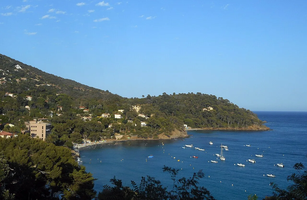
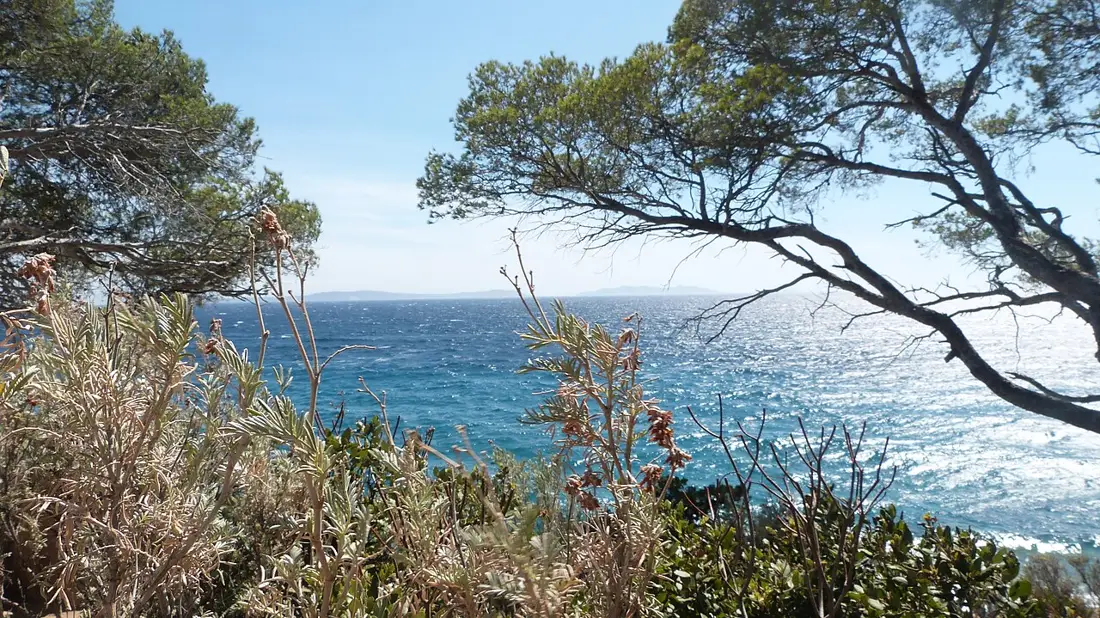
At Le Rayol, the sea is discovered on the way down. From the village heights, the view comes before the sand and rocks. Choose a spot, look at the shape of the bay and keep some energy for the return: the approach is part of this seaside outing.
Area photographLe Rayol and its coastline from the Voie Verte — area panorama, 2017Emartin / Wikimedia Commons · CC BY-SA 4.0 · Resized, converted to WebP and display-cropped; adapted image under the same licence.
THE LE GOLFE VIEW
“FIRST THE SEA VIEW, THEN THE PATH TO THE SAND.”
FIND YOUR RHYTHM
PLAN THE DESCENT AND THE CLIMB BACK
01
Two sections around a rocky point
Tourism information describes two beaches divided by a rocky point. Identify the section you intend to visit. Le Rayol and Le Canadel are separate stops within the same municipality; compare the Canadel profile before choosing.
02
Plan the descent and the climb back
The office describes walking from the Voie Verte through Square Jean Aicard and down the Degrés de la Mer. This involves steps. Consider carried equipment and everyone in your group, and ask about suitable access if you have a pushchair or mobility needs.
03
Read the conditions on arrival
Bathing-information panels provide useful guidance. Check them, actual supervision and current notices before entering the water. With children, keep the plan simple and do not assume rocky and sandy sections offer identical conditions.
BEYOND THE FIRST LOOK
Allow for the approach
Parking possibilities mentioned by the office do not guarantee an available space. Arrange the approach and choose breaks around businesses that are open. A stop around Le Patec can extend the outing, allowing for the height difference between the village and the shore.
THE USEFUL DISTINCTION
READ THE CONDITIONS ON ARRIVAL
PLAN YOUR VISIT
ALLOW FOR THE APPROACH
Town
Rayol-Canadel-sur-Mer · Le Rayol area
Layout
Two beaches divided by a rocky point
Described access
Square Jean Aicard and Degrés de la Mer, with steps
Plan ahead
Return climb, equipment and bathing conditions
LOCATION & DIRECTIONS
Where is this place?
Plage du Rayol · Rayol-Canadel-sur-Mer
Area reference
Beach reference published by Golfe tourism, not a car park or a step-free access point. Plan the descent and return.