In La Môle, heritage also rewards a walk. High above the village, Sainte-Magdeleine brings together dark stone, vegetation and the Maures hills. The approach is part of the visit, exchanging the village’s pace for a place whose setting gives it much of its character.
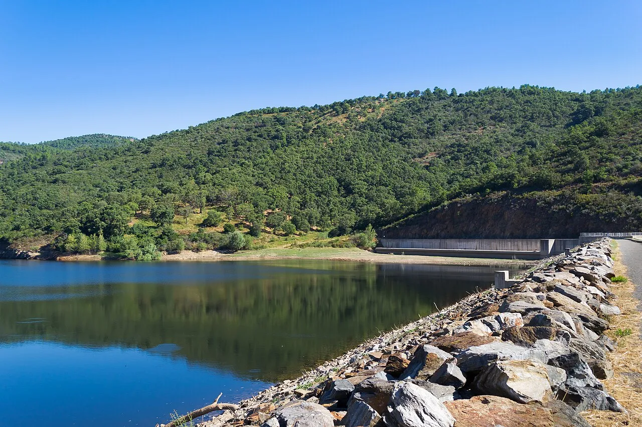
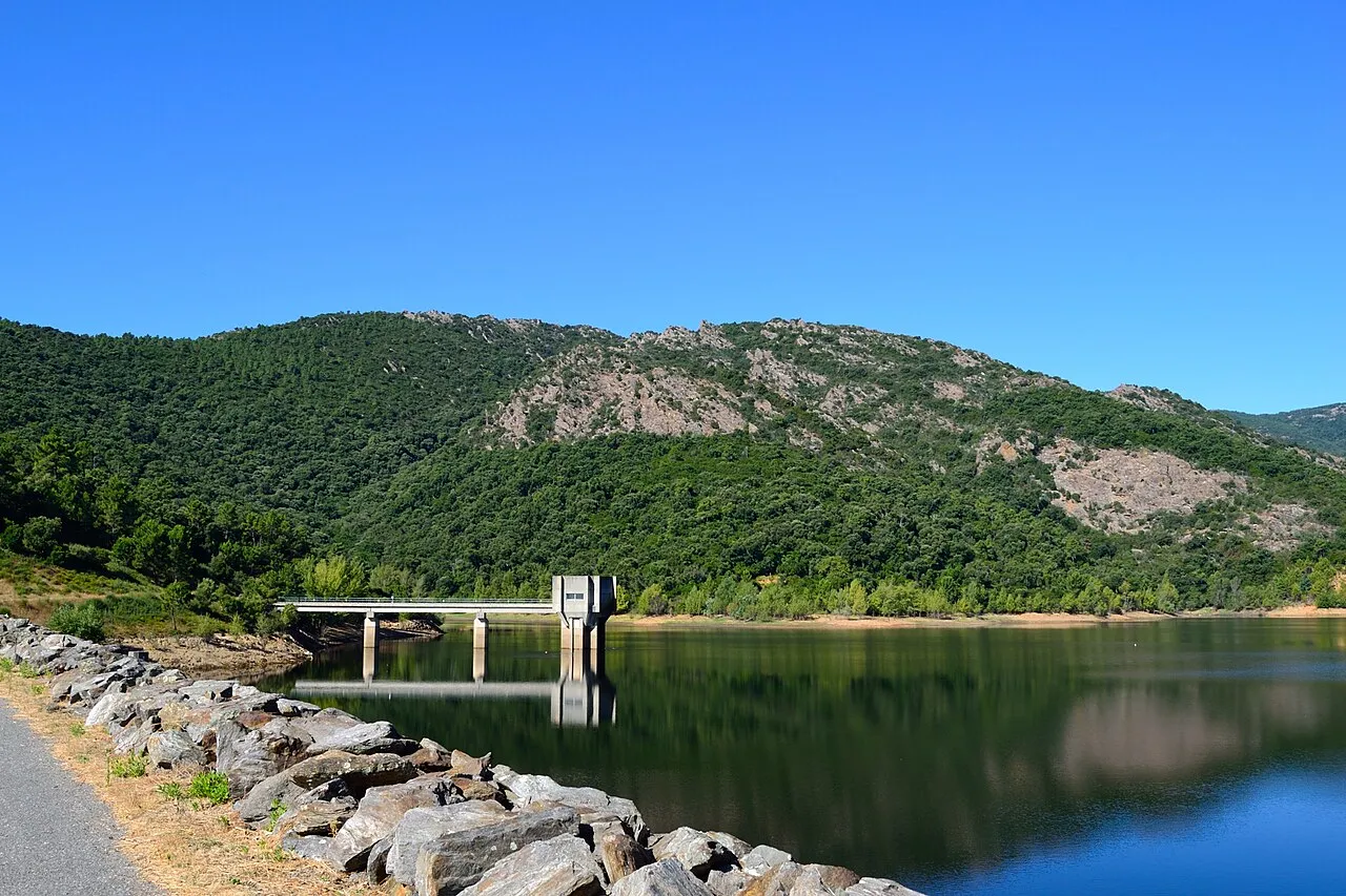
Area photographHills around the Verne reservoir — Maures landscape, not Sainte-Magdeleine chapelVT98Fan / Wikimedia Commons · CC BY-SA 3.0 · Resized, converted to WebP and display-cropped; adapted image under the same licence.
THE LE GOLFE VIEW
“WALK INTO ANOTHER LAYER OF HISTORY.”
FIND YOUR RHYTHM
TAKE TIME. LOOK AGAIN.
01
Not the church in the centre
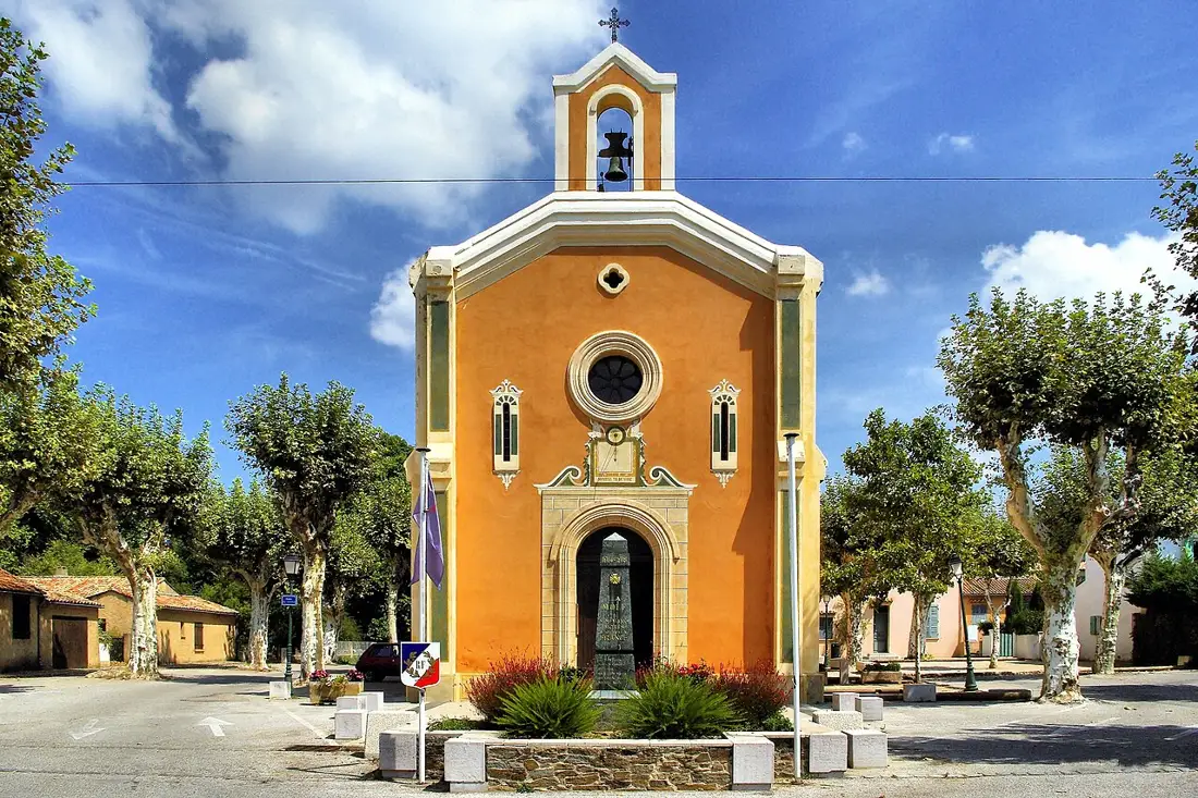
The hilltop chapel and the village church are separate buildings. The latter is a starting reference in the tourist office’s walk description. Distinguishing them before travelling helps you plan for an outing on foot rather than a stop beside the square.
02
A medieval hill site
The office’s heritage panel dates the chapel to 1280 and describes fortified occupation. Look at the relationship between remains and terrain. Keep to permitted paths and avoid climbing walls; understanding the site does not require scrambling over its structures.
03
Prepare the official walking route
The official listing describes a moderate, yellow-marked 5 km loop, around 90 minutes and 200 metres of elevation gain. These are route estimates rather than a promised duration. Earth and stony ground make it unsuitable for pushchairs. Consult the official track before setting out.
BEYOND THE FIRST LOOK
Conditions in the massif
Bring water and walking footwear, and check weather and forest-access restrictions. The office also notes possible livestock and protection dogs: keep your distance and follow local instructions. The municipality’s route-enquiry contact is 04 94 40 05 80.
THE USEFUL DISTINCTION
PREPARE THE OFFICIAL WALKING ROUTE
PLAN YOUR VISIT
CONDITIONS IN THE MASSIF
Official route
5 km · around 90 minutes · 200 m elevation gain
Listed difficulty
Moderate · yellow waymarks
Terrain
Earth and stones · unsuitable for pushchairs
Route enquiries
04 94 40 05 80 · check weather and access
LOCATION & DIRECTIONS
Where is this place?
Chapelle Sainte-Magdeleine de La Môle · La Môle
Venue reference
Medieval chapel reference published by Golfe tourism, distinct from La Môle village church. This is a walking destination, not parking or the trailhead. Follow the official route and check forest restrictions.
Location reference : Sainte-Magdeleine · chapel and castrum. Checked on .