← Explore places

La Môle · LE GOLFE / DISCOVER

Barrage de la Verne à La Môle

THE GOLFE HAS A RESERVOIR SIDE.

At La Verne dam, water is surrounded by wooded hills rather than beach scenery. This drinking-water reservoir makes a rewarding walking stop in La Môle. Our idea: come to walk and observe, leaving room for the return journey and a village break afterwards.
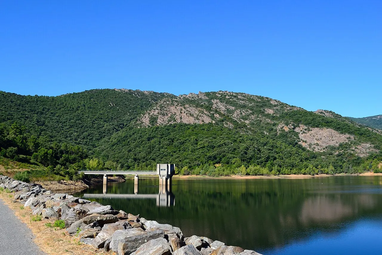
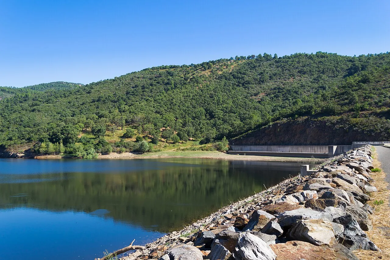
Lac de retenue de la Verne à La Môle, photographie de 2013
La Verne reservoir, La Môle (2013)VT98Fan / Wikimedia Commons · CC BY-SA 3.0 · Resized, converted to WebP and display-cropped; adapted image under the same licence.

THE LE GOLFE VIEW

“WATER. HILLS. TIME TO WALK.”

FIND YOUR RHYTHM

REACH THE WATER. LOOK OUT. WALK BACK.

01

Water in the Maures landscape

Built in 1991, La Verne dam helps supply drinking water to the area. The reservoir and hills can be observed from accessible paths. Our advice: bring binoculars if you enjoy birdwatching, without expecting guaranteed wildlife sightings.

02

Getting to La Verne dam

The office describes the approach via Chemin de Saint-Julien, parking near the water works and around 2½ km on a dirt track on foot. Respect authorised spaces and operational access. The map identifies the dam, not the driving destination; follow the official access description.

03

Allow for the return walk

The outing is listed at 5 km and around 1½ hours; add time for breaks. The surface includes dirt and stones. Bring suitable shoes, water and sun protection, and check weather and forest access. This outing does not include the much longer walk to the Chartreuse de la Verne.

BEYOND THE FIRST LOOK

Enjoy the reservoir from the paths

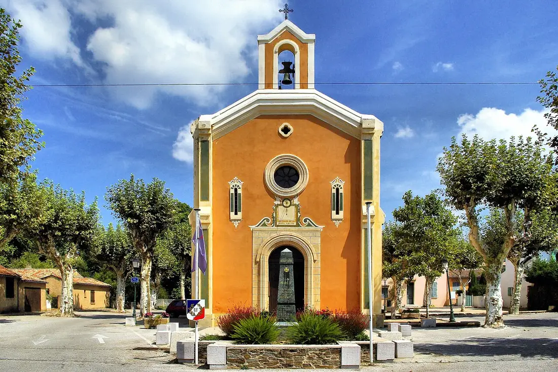
Swimming, fishing and boating are prohibited. Stay on accessible routes and follow notices protecting the drinking-water reserve. Our suggestion: continue with a village stop around the church rather than planning an activity on the water.

THE USEFUL DISTINCTION

A DRINKING-WATER RESERVE, NOT A BEACH.

PLAN YOUR VISIT

LA MÔLE AT THE PACE OF THE MAURES.

Approach
Chemin de Saint-Julien, 83310 La Môle
Listed walk
5 km return; around 1½ hours
From parking
Around 2½ km on foot to the dam
Activities
Swimming, fishing and boating prohibited

LOCATION & DIRECTIONS

Where is this place?

Barrage de la Verne à La Môle · La Môle

Area reference

Dam reference, not parking. The office describes around 2½ km on foot from near the water works; consult official access instructions.

Location reference : Barrage de la Verne à La Môle. Checked on .

Location source and access information ↗

Suggested destination : Chemin de Saint-Julien, 83310 La Môle, France

The marker identifies an area or a visit reference; it does not guarantee an entrance or vehicle access. Check the access notes above.

Choose your starting point and travel mode in Google Maps. Check the final approach on site.

Common questions

Can I swim at La Verne dam?

No. Swimming, fishing and boating are prohibited in this drinking-water reservoir.

How far is the walk from parking?

The office lists around 2½ km on a track to reach the dam: 5 km return in around 1½ hours, excluding breaks.

Explore further

NEXT MOVE

SAVE IT. BOOK IT. BUILD AROUND IT.

Ask LE GOLFE →
Your shortlist stays on this device.My stay · 0

COMMUNITY / SEEN BY YOU

YOUR PHOTOS.
YOUR WORDS.

Another view of the place, shared by people who were actually there. Every contribution is moderated before publication.

COMMENTS

No published comments yet.

CONTRIBUTE

You need an account to post a photo or comment.

Sign in / join ↗
Places and stays in La Môle →

Explore nearby and similar places