One summit, two approaches
The village start offers a half-day out-and-back hike. The Les Vernades loop published on Visorando is shorter. Compare them in the route section and use the directions for your chosen itinerary.
Le Plan-de-la-Tour · NATURE & HERITAGE
Walk to San Peïre from the village or Les Vernades. Choose your starting point and plan the return before enjoying the cork oaks, granite and views over the Golfe.
SAN PEÏRE / PLAN YOUR WALK
Choose your route: distances, the return journey and directions differ.
The guidebook lists 6 km and 2 hours one way. The 12 km and 4 hours allow for returning on the same path; these are planning estimates, not guaranteed times.
Official outward route · return along the same path
Geometry: Golfe tourist office GPX. Documented route, not field-checked by LE GOLFE. The first marker is the GPX start, not a guaranteed parking space.
Outward profile · IGN RGE ALTI terrain elevations
The GPX measures around 5.8 km one way, rounded to 6 km in the guidebook. This profile uses IGN terrain elevations, not field-recorded GPS altitude.
Locate the GPX start and authorised parking. Take the directions with you.
Follow the official route via La Planète, Le Magnan, Terre Rouge and track E713.
The final section reaches a rocky path and the oppidum remains. Leave time for the return.
Retrace the same route. Avoid improvising a loop.
Route source: Golfe tourist office · IGN RGE ALTI · Desk check: 27 October 2026
The village start offers a half-day out-and-back hike. The Les Vernades loop published on Visorando is shorter. Compare them in the route section and use the directions for your chosen itinerary.
The official guidebook specifies 6 km and 2 hours one way, with a listed +370 m of outward ascent. Allow around 12 km and 4 hours excluding stops for an out-and-back hike. The tourist office webpage presents the figures differently; we explicitly distinguish the outward and return journeys.
There are rocky sections. Find authorised parking, bring water and check forest access on the day. The documented route does not replace signs or restrictions on the ground.
NEXT MOVE
MAKE IT HAPPEN
WHERE
Le Plan-de-la-Tour
Reference to check when planning access : San Peïre · summit.
View map and access ↓TO PREPARE
Check the programme, any booking requirement and conditions for your companions.
FOR YOUR DATE
Confirm hours, prices and availability with the venue or its tourist office.
The hiking route reaches the summit on foot. The map reference locates the area, not a car access point: read the official route before leaving.
No. The official description lists rocky terrain, difficult sections and a route unsuitable for pushchairs.
Visit advice: LE GOLFE. Date of the guide’s reference information : 27 October 2026.
COMMUNITY / SEEN BY YOU
Another view of the place, shared by people who were actually there. Every contribution is moderated before publication.
COMMENTS
No published comments yet.
CONTRIBUTE
You need an account to post a photo or comment.
Sign in / join ↗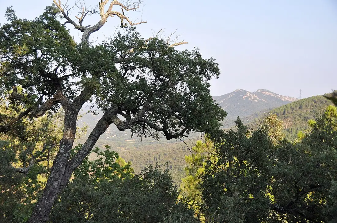
DO · Le Plan-de-la-Tour
Discover La Boule Plantourianne, Le Plan-de-la-Tour’s pétanque club: Gallieni boulodrome, competition information and official contacts for getting involved.
Context photo: Андрей Бобровский / Wikimedia Commons · CC BY 3.0
EAT · Le Plan-de-la-Tour
La Tour du Plan in Le Plan-de-la-Tour: Provençal cooking, a shaded terrace and an old village building. Location, booking and ideas for a village stroll.
Context photo: Андрей Бобровский / Wikimedia Commons · CC BY 3.0
DO · Le Plan-de-la-Tour
Visit Le Plan-de-la-Tour’s Provençal market on Place Foch, Thursdays from 8.30am to 12.30pm. Local produce, access and ideas for a village morning.
Context photo: Андрей Бобровский / Wikimedia Commons · CC BY 3.0