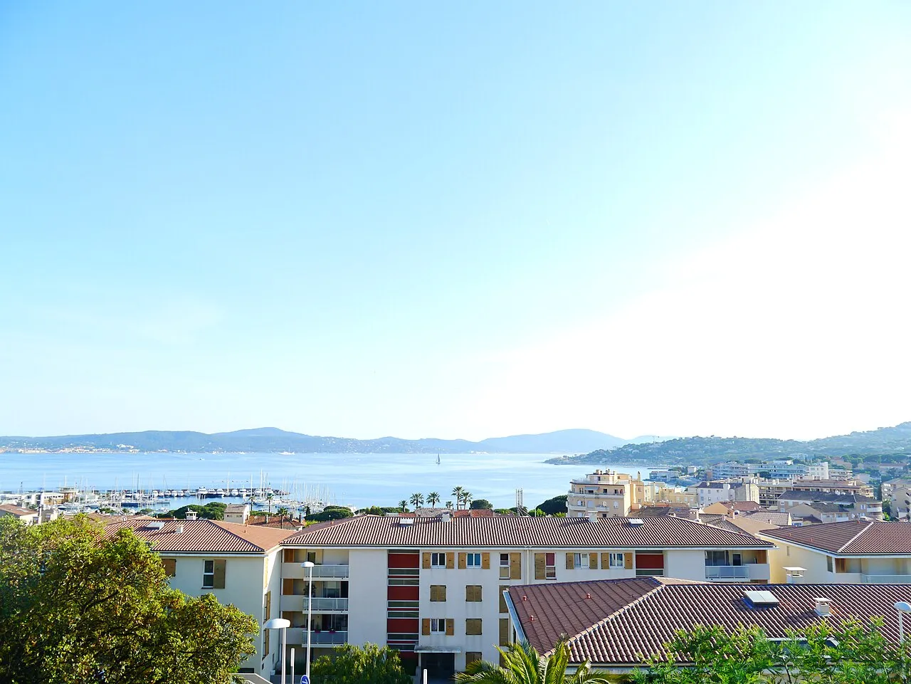
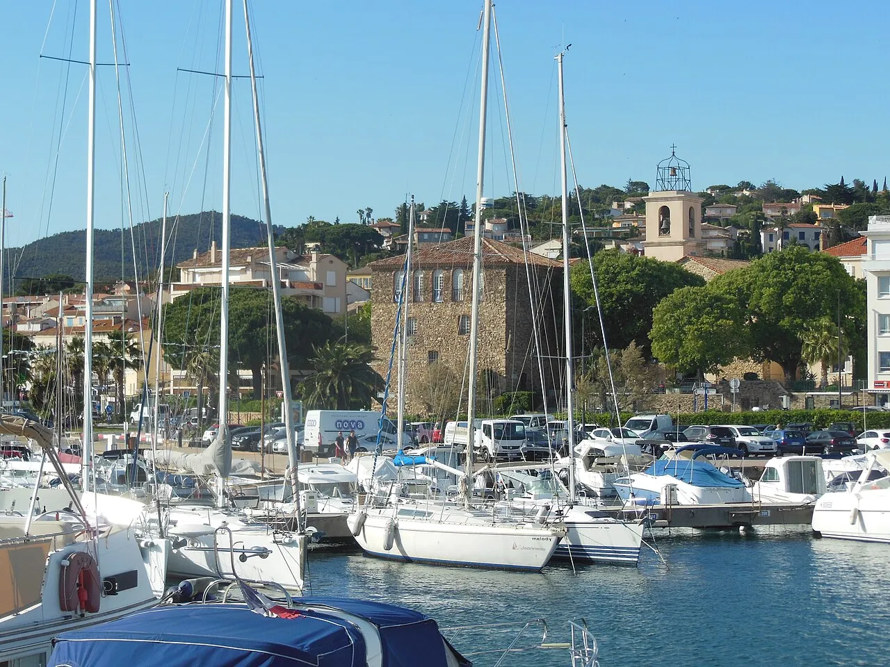
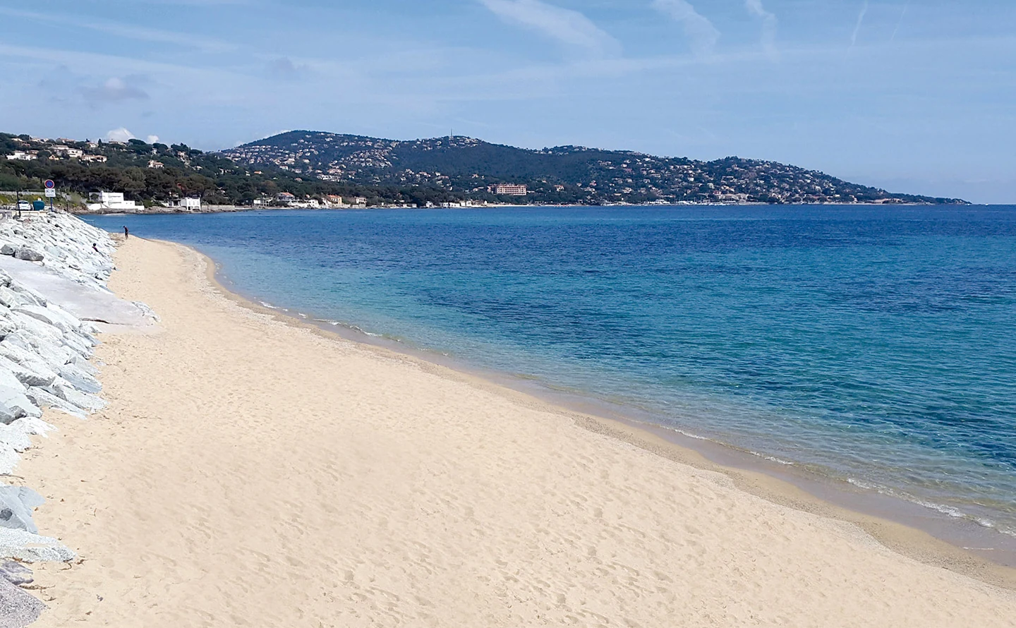
A few steps can change the scene in Sainte-Maxime. Pointe des Sardinaux brings together pines, rocks and openings onto the sea. Come for an unhurried walk, a shared break and a closer look at the coast, leaving room for the nature that makes this place worth visiting.
Area photographSainte-Maxime and the Golfe — town view, not Pointe des SardinauxGossipguy / Wikimedia Commons · CC BY-SA 4.0 · Resized, converted to WebP and display-cropped; adapted image under the same licence.
THE LE GOLFE VIEW
“TAKE YOUR TIME. LEAVE ROOM FOR NATURE.”
FIND YOUR RHYTHM
HISTORY BESIDE THE SHORE
01
Arrive for a walk
The tourist office places the point on the coastal road before La Nartelle when coming from the centre. Final access is on foot and parking is limited. Plan the arrival, then choose a simple outing suited to the terrain and your group.
02
History beside the shore
The office identifies a Roman fishpond and a Second World War structure. Alternate looking at the scenery with finding these traces of the past. Avoid climbing structures or disturbing small shoreline creatures.
03
The point and the islet are different
The municipality distinguishes the accessible point from an islet used by nesting terns. It publishes islet closure from 15 March to 15 September and swimming and watersports restrictions within 100 metres from 1 May to 31 August. Check updated municipal information and local signs before approaching that area.
BEYOND THE FIRST LOOK
A considerate picnic stop
Pine shade and picnic spaces offer a reason to pause with the family. Take litter away and judge swimming conditions on the day. Dog rules vary between land, beaches and seasons: consult the office rather than assuming permission everywhere.
THE USEFUL DISTINCTION
THE POINT AND THE ISLET ARE DIFFERENT
PLAN YOUR VISIT
A CONSIDERATE PICNIC STOP
Town
Sainte-Maxime · coastal road before La Nartelle
Access
Final approach on foot · limited parking
Interest
Pines, shoreline, Roman fishpond and wartime structure
Important distinction
Accessible point and seasonally protected islet
LOCATION & DIRECTIONS
Where is this place?
Pointe des Sardinaux · Sainte-Maxime
Area reference
Headland beach coordinates published by Sport Nature Var. This marks the peninsula, not the protected islet or a car park. Final approach on foot from the D559; follow posted restrictions.
Location reference : Pointe des Sardinaux · headland beach. Checked on .